


Twisp Rural Voting District, Okanogan County, Washington
About
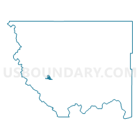
Outline

Summary
| Unique Area Identifier | 687746 |
| Name | Twisp Rural Voting District |
| County | Okanogan County |
| State | Washington |
| Area (square miles) | 5.88 |
| Land Area (square miles) | 5.87 |
| Water Area (square miles) | 0.02 |
| % of Land Area | 99.72 |
| % of Water Area | 0.28 |
| Latitude of the Internal Point | 48.39430770 |
| Longtitude of the Internal Point | -120.20696240 |
Maps


Graphs
Select a template below for downloading or customizing gragh for Twisp Rural Voting District, Okanogan County, Washington


Neighbors
Neighoring Voting District (by Name) Neighboring Voting District on the Map
- Bridge Creek Voting District, Okanogan County, WA
- Moccasin Lake Voting District, Okanogan County, WA
- Poorman Creek Voting District, Okanogan County, WA